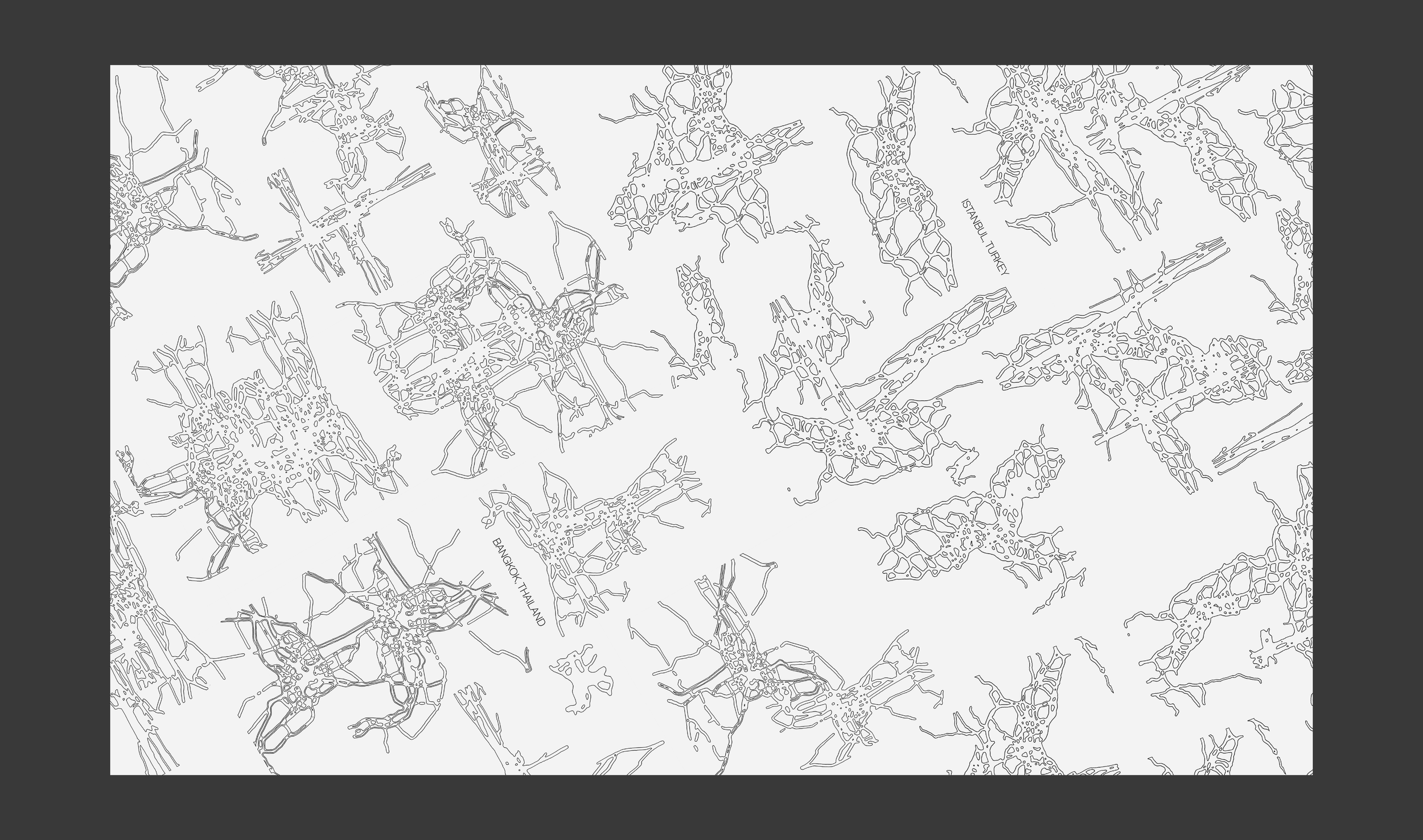
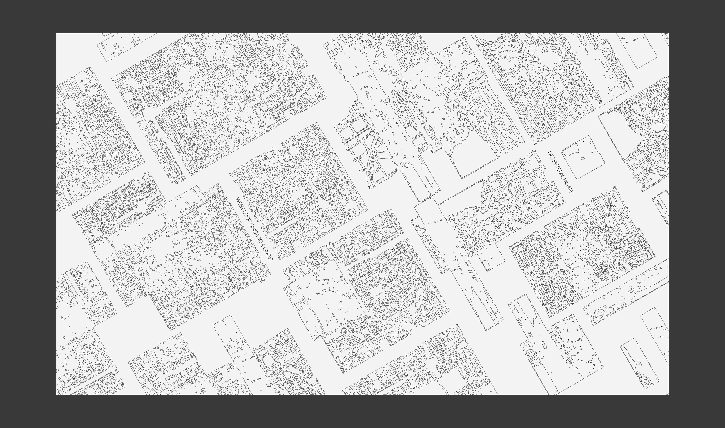
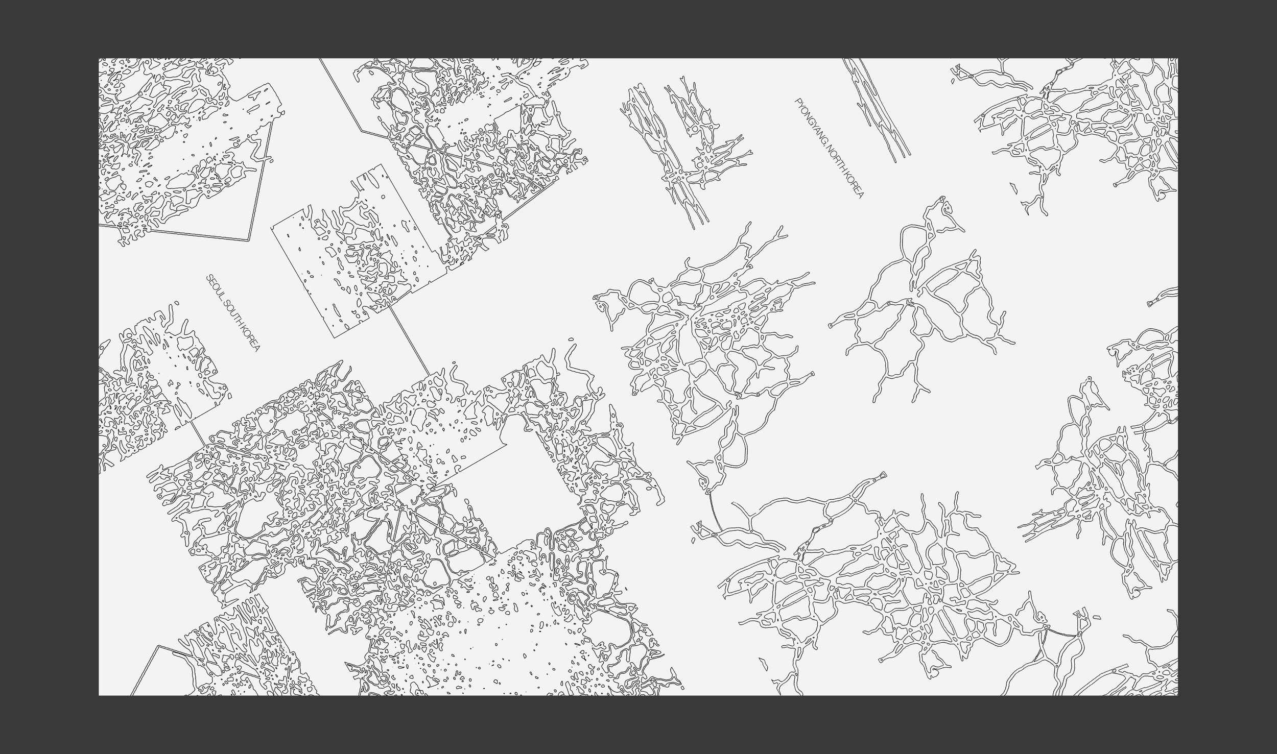
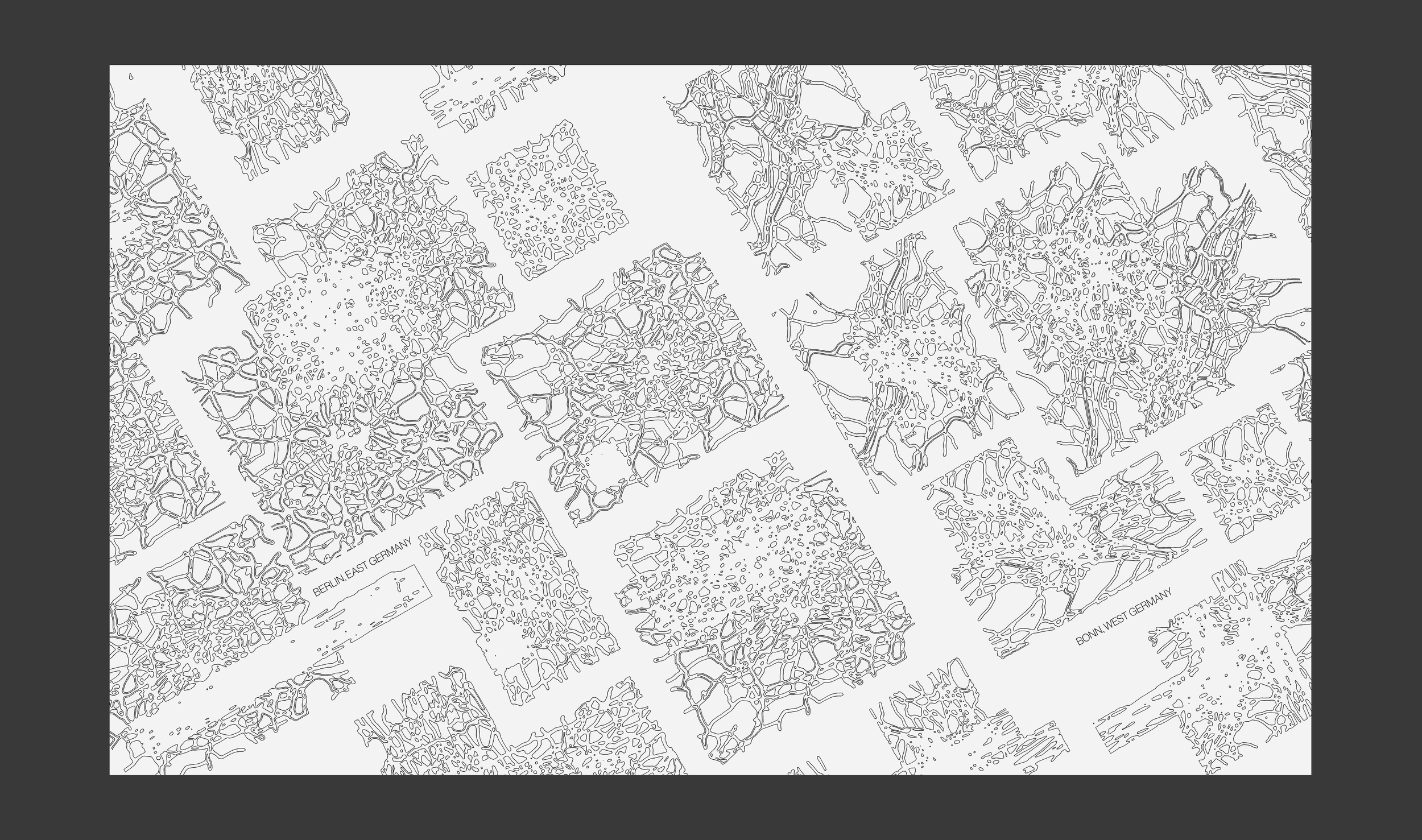
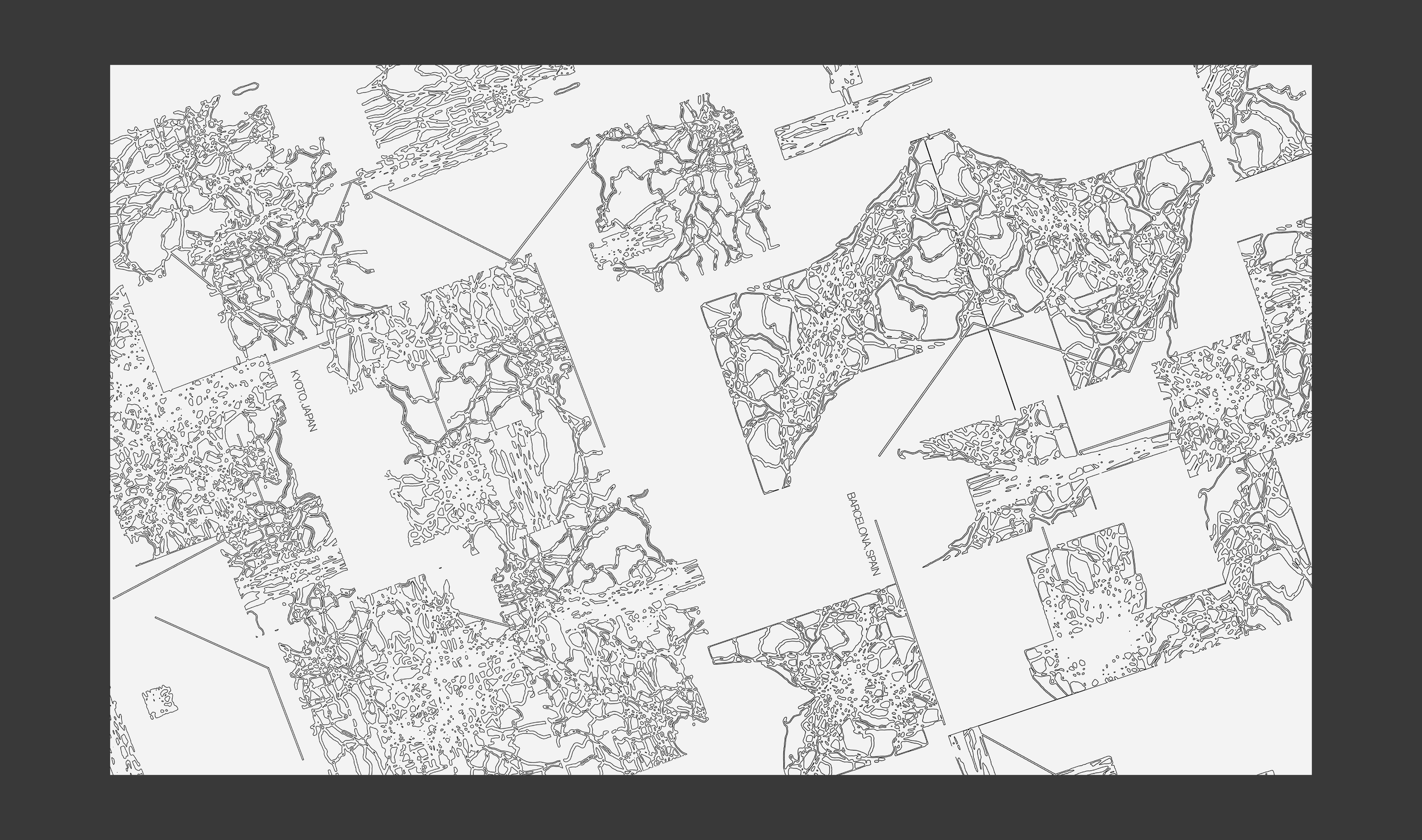
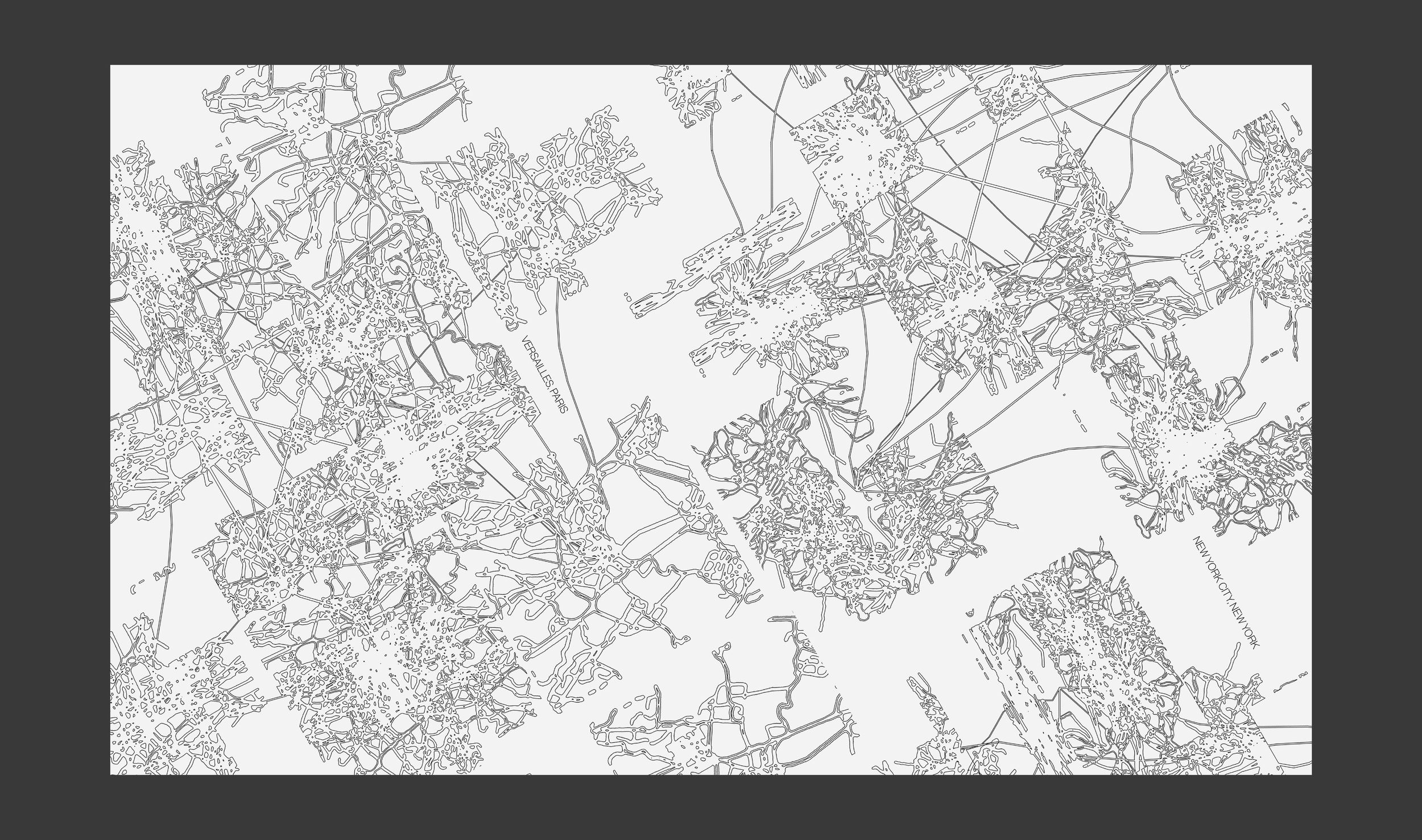
Urban [Morph]ology
Print, Technology
Using the Google Maps static image API into a parametric system network built in TouchDesigner, these maps display alternate urban landscapes
Print, Technology
Using the Google Maps static image API into a parametric system network built in TouchDesigner, these maps display alternate urban landscapes